
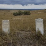
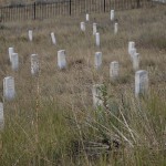
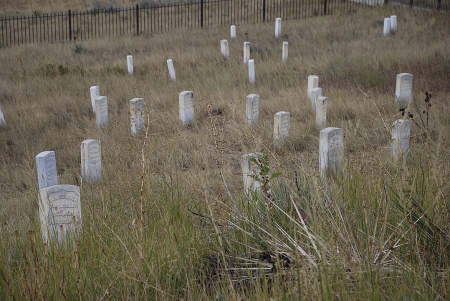
Markers where two soldiers of Custer’s Seventh Cavalry fell.
Merv is on the laptop tonight so just a quick two fingered summary of our day.
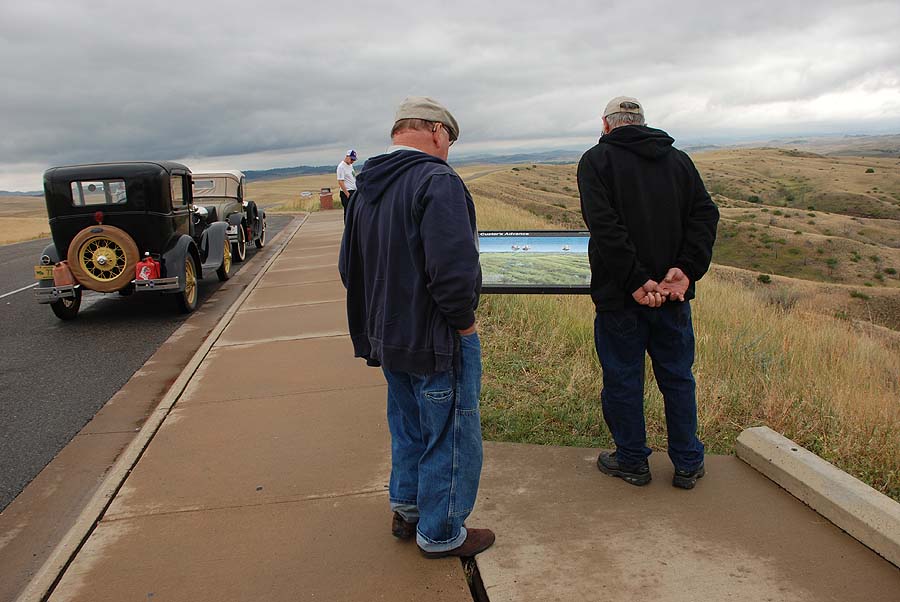
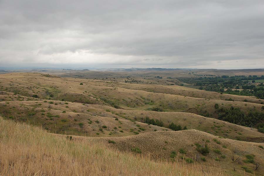
We spent a lot of time at the Little Big Horn National Monument. They have done a good job mapping out the cultural and political issues as well as the battle strategies of both sides. We took the five mile drive around the battle field and stopped to read the descriptive markers.. It was a sobering experience.
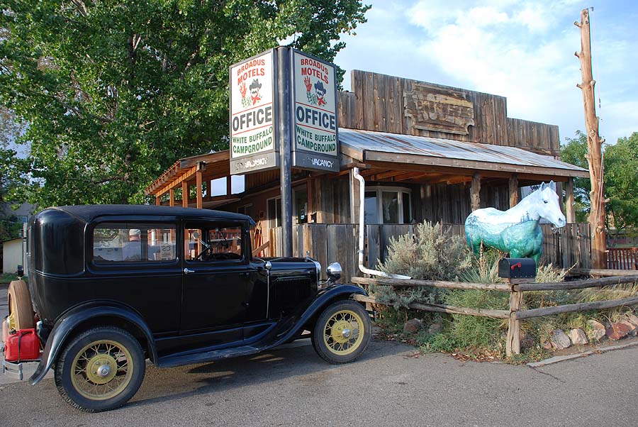
We left there about 3pm and drove 3 hours to our motel at Broaden, MT. We went down the block for some good pizza and have tomorrow’s drive to the Black Hills region all planned out.
Merv’s hip is better today. He thinks he pulled a muscle getting into or out of the car. There isn’t much room between the steering wheel and the seat so he has to do a bit of contorting when climbing aboard.
-
- Markers where two soldiers of Custer’s Seventh Cavalry fell.
-
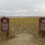
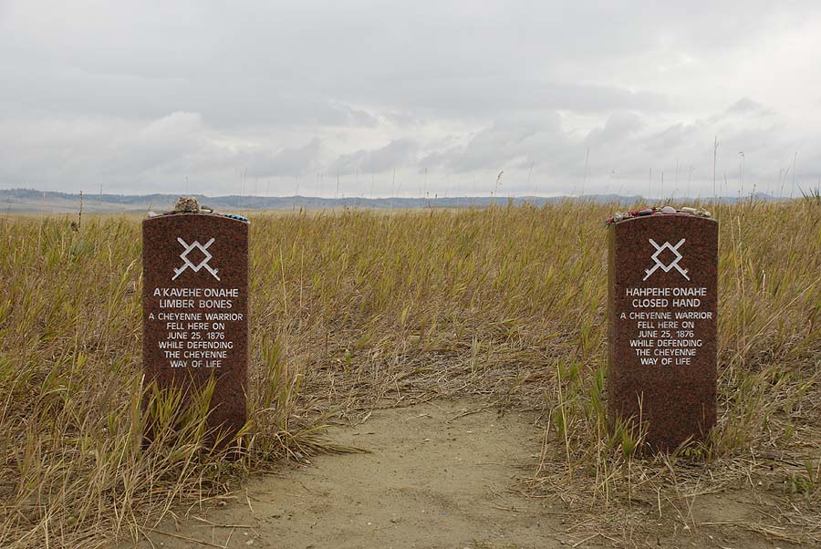
- Merkers where two indian warriors fell.
-
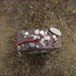
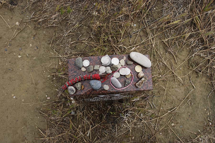
- Visitors placed momentos on the indian markers.
-
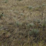
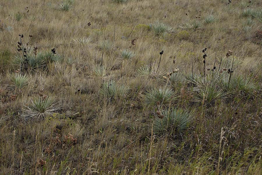
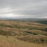
- I’m wondering if this is native prairie. Can any of my Friends of the Prairie friends tell?
-
- Stones marking the locations where Custer and his men fell at his last stand.
-
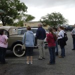
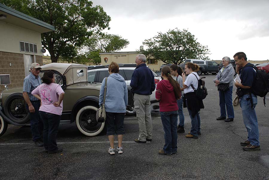
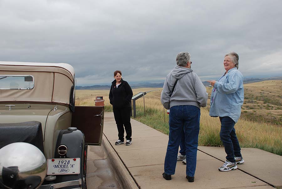
- A crowd gathered at the cars when we went to take the driving tour of the battle field.
-
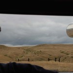
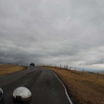
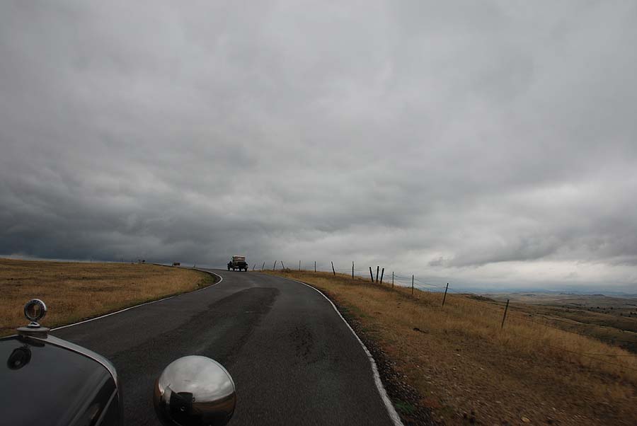
- Merv-view of the battle field

-
- The battle squirmishes were spread out over a two and a half mile stretch.
-
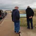
- Reading the markers that described the battle
-
- Such rugged terrain.
-

- We have met up with many Wisconsinites along the way. These people were from Chippewa Falls.
-
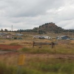
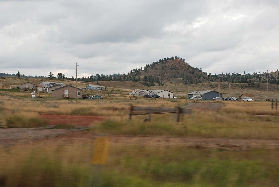
- The government supplied houses of the Cheyenne Indian Reservation are the same as the houses at the reservation near Turtle Lake WI.
-

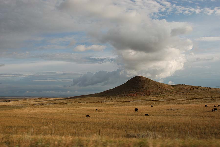
- Merv-view of south east Montana.

-
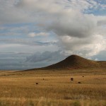
- at first glance, this hill looked like a volcano.
-

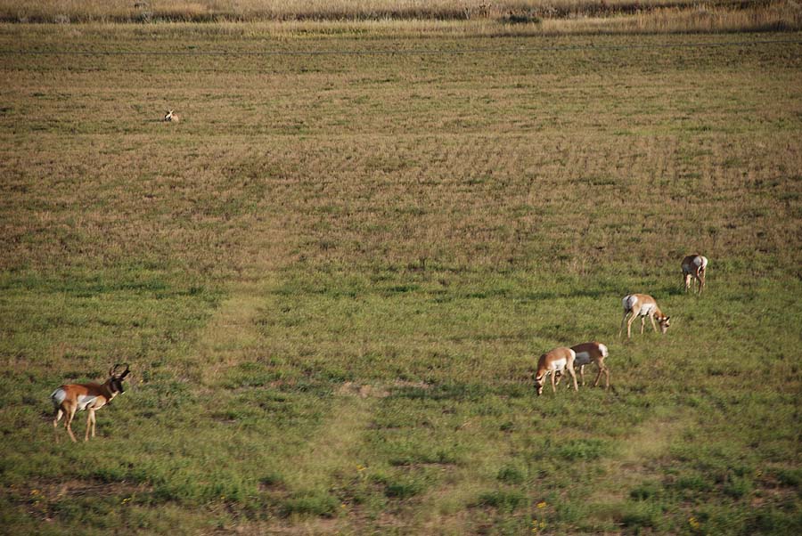
- Antelope were as plentiful as deer in our WI cornfields.
-
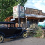
- Our motel in Broadus, MT
Leave a Reply